Climate resilience as Community Resilience Mapping
Community Resilience Mapping is a powerful tool to:
What it is: Community climate resilience maps are a fantastic way to identify and deepen understanding of current and anticipated climate risks and strengths across the community. Climate resilience maps may consider (1) environmental exposures, or the magnitude, frequency, and duration of present and anticipated environmental risks, including both major shocks and slow, simmering stressors; (2) sensitivities, or the physiological, socioeconomic, infrastructural, occupational, and geographic factors that affect the degree to which a population is impacted by climate-related changes; (3) assets, or the factors that affect the degree to which a population is able to bounce back from climate-related changes and care for one another amid crisis; and (4) adaptive capacity, or the infrastructure that may help (or hinder) the mitigation of possible disasters and/or coping with their consequences. Indicators to consider might include the following:
Exposures
Temperature
Wildfire threat
Sea-level rise
Flood risk
Drought
Air quality
Hurricanes
Sensitivities
Demographic: race/ethnicity, linguistic isolation, poverty, elderly (and living alone), children, disability, incarceration, citizenship status
Socioeconomic: unemployment, educational attainment, income inequality, health insurance coverage, food insecurity, voter participation
Housing and infrastructure: tenure (% renters), affordability (% housing burdened), air-conditioning, quality of housing, energy burden, jails and prisons
Health: asthma, cardiovascular disease, diabetes
Occupational: outdoor workers, workers impacted by violations of rights, protections, and safety
Geographic: urban heat islands, industrial/hazardous sites, impervious surfaces, nearby bodies of water, monocultures
Assets
Demographic: folks who speak multiple languages (including ASL), age diversity, experiential diversity
Socioeconomic: community cohesion and engagement, cooperatives, local businesses
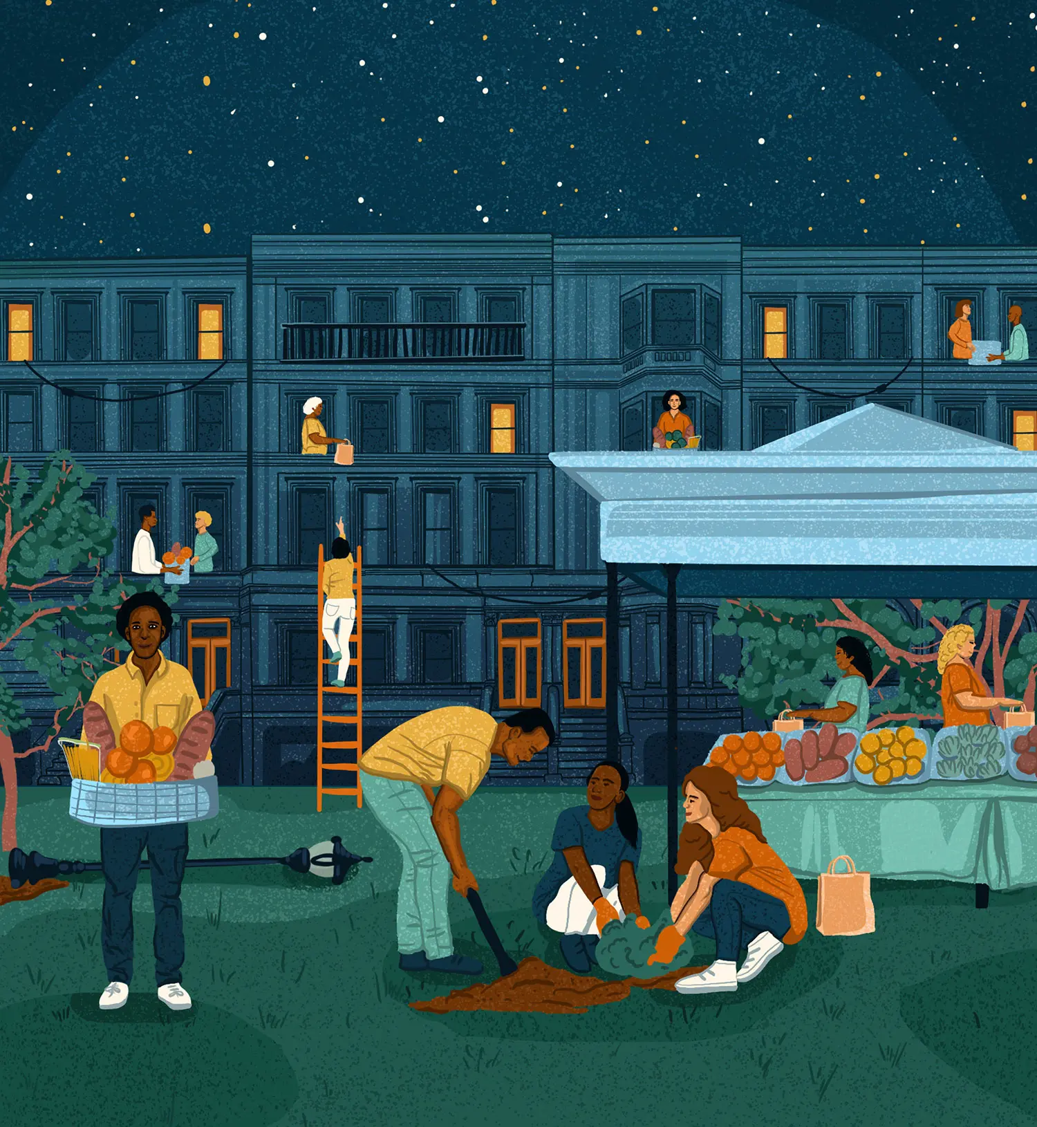
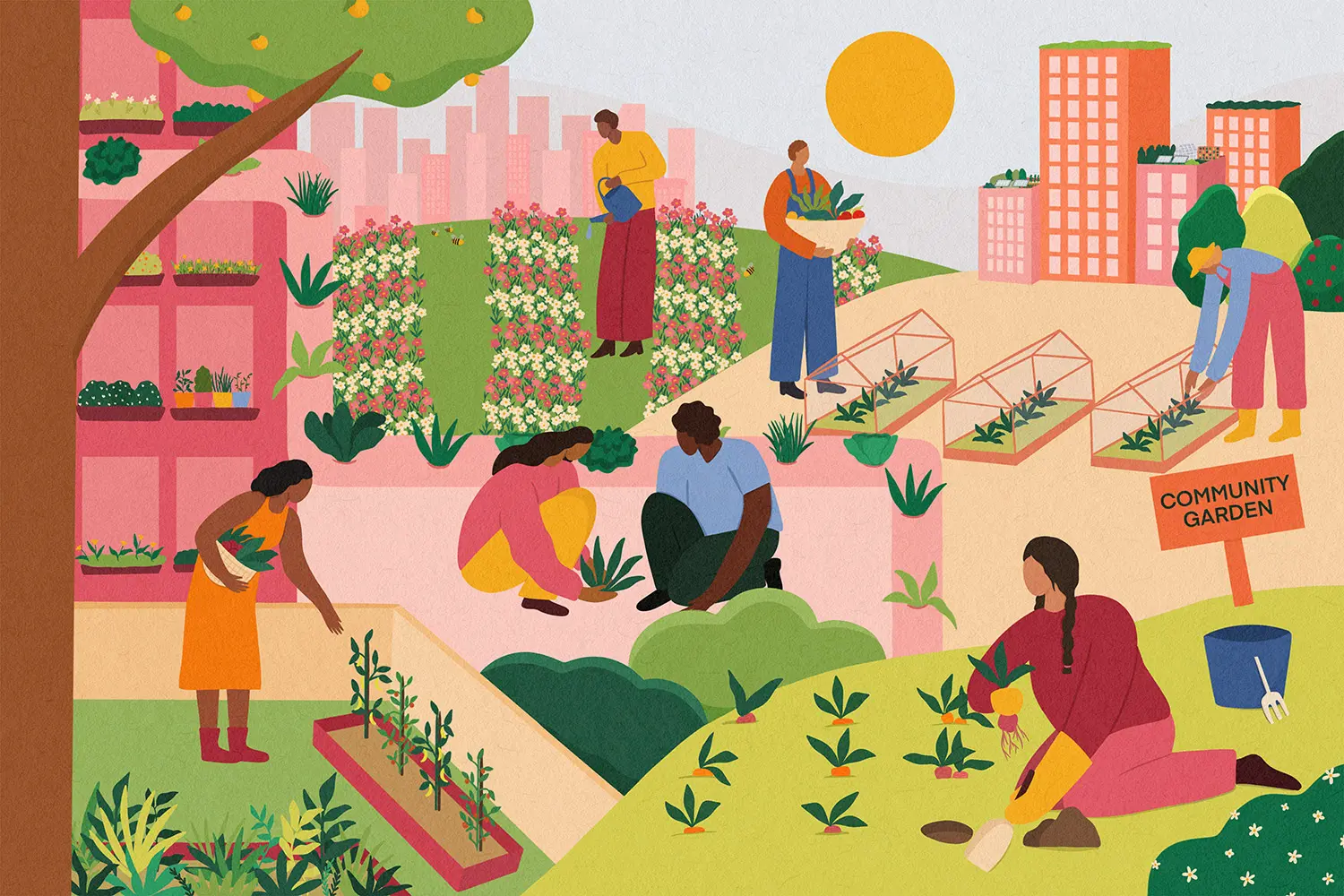
Housing and infrastructure: community spaces (with industrial kitchens), buildings with energy storage systems, community-based renewable energy systems, local food growing and distribution systems, circular waste management systems
Occupational: medical professionals, doulas, herbalists, elder care providers, cooks, domestic workers, educators, facilitators, organizers, mental healthcare providers, informal care workers, carriers of ancestral wisdom
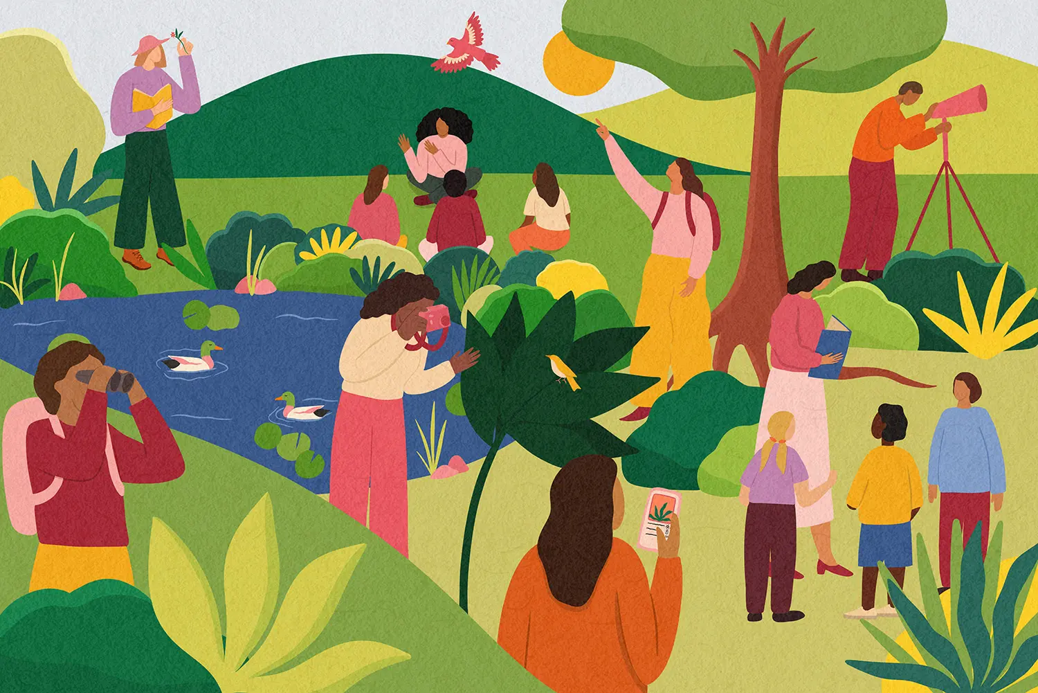
Geographic: tree canopy, porous/vegetated surfaces, gathering spaces, areas surrounded by defensible space, freshwater sources, gardens, plant medicine, biodiversity
Adaptive Capacity
Vehicle and transit access
Medical facilities
Mental health care
Cooling/evacuation centers
Emergency services
Telecommunication access
It’s important to note that “sensitivities” should always be appropriately contextualized: being particularly sensitive to climate impacts is not an inherent characteristic or condition of groups of people, rather it is a circumstance or consequence of historic and present-day marginalization, oppression, inaccessibility, and exclusion from opportunity. While this type of categorization is useful in this context to better understand who will be most impacted by climate risk, it can also erase the strength, resilience, and solutions of so-called vulnerable communities. Don’t be afraid to challenge this language and choose or create terms of your own.
In efforts to map community climate resilience, it’s so easy to be deficiency oriented. Our communities are often characterized as victims, as disadvantaged, as suffering. Yes, there have been historic inequalities that have harmed our communities. And, it’s important to name that we’re also protagonists in our stories. Amee Raval, research and policy director and climate organizer (source)
Some additional context: While it’s not new for data in the categories listed above to be collected, assessed, and mapped, community resilience mapping is unique in that:
- The process integrates a variety of factors, including environmental health risks, socioeconomic data, and adaptive capacity, to understand how they might interact across projected climate impacts. The community resilience mapping process takes a really holistic look at relevant data to construct the most comprehensive understanding of community resilience possible;
- The process welcomes qualitative data and anecdotal evidence to help fill in data gaps and paint a more accurate picture of what’s being experienced on the ground. Community members, not just researchers and data analysts, are crucial to the process;
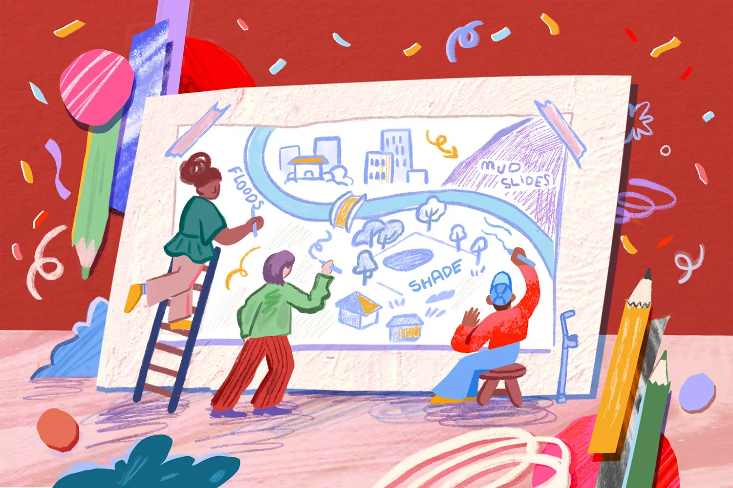
- The process can be really formal, particularly if the point is to shape policy, but it doesn’t need to be. Community resilience maps can be hand-drawn around a kitchen table. The process should be tailored to the needs and desires of the group and reflect how the map will be used.
Community resilience mapping as defined above is not yet a widespread practice, though environmental justice organizations like Asian Pacific Environmental Network (APEN) are working to change that. Check out their incredible report, Mapping Resilience: A Blueprint for Thriving in the Face of Climate Disasters, and/or watch the report’s author, Amee Raval, break it down in this workshop with Coastal Conservancy.
To better understand which communities are most impacted by climate change, we know that climate science alone isn’t enough. It doesn’t tell us the full story of who’s disproportionately impacted. Amee Raval, research and policy director and climate organizer (source)
Why it’s a climate resilience powerhouse:
Capturing how climate risk and vulnerability may interact to create disasters
Mapping a variety of indicators is an invaluable way to better understand the potential ramifications of extreme weather for a community. For instance, if we’re assessing the risk of a hurricane to a neighborhood that has few porous surfaces, is flanked by rivers and the ocean, and is elevated just above sea level, we can expect that storm surge, torrential rains, and swollen rivers will flood the roads and damage homes. If we also understand that many folks in the neighborhood don’t have access to a vehicle to evacuate before the hurricane, lack the financial cushion to preemptively stock up on supplies, and have historically been excluded from accessing emergency services during flooding events, then we begin to understand how hazards become life-threatening disasters (read more about the distinction between hazards and disasters in Kendra Pierre-Louis’s brilliant piece “There’s Actually No Such Thing as a Natural Disaster”). Done well, a resilience map can illustrate an entire cascade of compounding risks.
“More holistic methods of resilience mapping are critical because they deepen our understanding of the cumulative impacts of climate change impacts and socioeconomic vulnerability. It’s an approach that’s largely understudied, but it’s really important. It’s one way that we can start to depict, legitimize, and visibilize those cumulative impacts.” -research and policy director and climate organizer Amee Raval (source) Amee Raval, research and policy director and climate organizer (source)
Identifying holistic solutions
Thoughtful, comprehensive resilience maps lead to more effective solutions. When resilience and adaptation strategy is informed solely by an awareness of environmental exposures, such as an increased risk of hurricanes and subsequent flooding, solutions tend to focus narrowly on infrastructure, like stronger dams or higher seawalls. But dams sometimes fail, and stormwaters frequently surge past seawalls. Good climate resilience strategies will keep community members safe even when things go awry. Resilience maps that effectively aggregate environmental, physiological, socioeconomic, and experiential data de-silo adaptation efforts and help mitigate compounding risk factors, particularly for those who are most impacted.
Highlighting community assets
Community resilience maps are not just meant to highlight risk and vulnerability, but are also meant to emphasize the sources of strength and adaptive capacity that communities have to draw upon during challenging moments. Naming these assets can help to inform practical, community-led solutions and can also instill community members with a sense of optimism and pride.
When our mapping focuses on vulnerability and doomsday narratives of climate change, these messages can incite a lot of fear. We want to make sure that our mapping captures narratives of hope and resilience as well. Amee Raval, research and policy director and climate organizer (source)
How to create a community climate resilience map:
- Start by defining the purpose and the parameters of your mapping project. For instance, if you’d like to utilize the map to better inform your local emergency response group, you may choose to focus exclusively on your immediate neighborhood, while if you’re hoping to utilize the map to apply for grants and inform local policy or planning, expand your scope to include the entire city or county. No scope is too small; you can even start with your household!
- Next, assemble your team. If you’ll be using your resilience map to help guide local organizing efforts, community care strategy, or your neighborhood’s emergency response, consider gathering neighbors for coffee or a casual potluck dinner and get creative; use an easel, whiteboard, or mural paper to begin bringing your map to life. If you’re hoping to use the map to reallocate resources or develop policy, the process should be more diligent and formal, potentially including several participatory mapping workshops and employing the assistance of a data specialist. In either scenario, be mindful about who’s in the room and who’s missing. Are the folks who will be the most impacted by climate risks at the table? If not, why, and are there ways to address that? If you’re initiating a formal process as a member of an institution or local government, can you compensate folks for their time and knowledge? Is childcare being provided? If participatory workshops are in-person, are they easily accessible by public transit and for folks with mobility impairments?
- As a team, select relevant and meaningful indicators to include your map. The chart of indicators above is meant to get you started; select what feels most pertinent to your community’s resilience and add your own.
- Next, collect data. Invite team members to share their own experiences and, if appropriate, engage more community members in interviews, surveys, or group discussions. As much as possible, strive to pair strong scientific evidence with the lived experience and ancestral knowledge of community members. There are a variety of technological tools and models that can help to provide precise, large-scale aggregated data that can be overlaid onto your map using geographic information system (GIS) mapping technologies. To get started, check out the Climate Mapping for Resilience and Adaptation (CMRA) assessment tool.
- Finally, create your map! Would you like to create a piece of living community art? A computer file that can be easily edited and shared? A detailed sketch that can be photocopied and distributed digitally or in person? Discuss which formats work best given the tools and skills at your disposal and who you would like your map to reach.
- Now that you have a deeper understanding of climate risk in your community, allow it to help inform adaptation and emergency response plans and the prioritization of time and resources. Depending on the scope and intent of your mapping process, this might look like submitting recommendations to local representatives and applying for funding or it might look like making a carpool plan and determining roles for a care strategy.
- Edit as needed. Maps are fluid and will change over time.
Research + reflection prompts:
- Are there any resilience mapping efforts currently underway in your city, county, or state? What does the public participation process look like? How might you get involved to help represent your lived experience and community?
- Make a list of the environmental exposures, sensitivites, assets, and adaptive capacity of your own household or immediate community. Consider how you might begin to protect and bolster household or community assets, expand your adaptive capacity, ameliorate areas of sensitivity, and prepare for specific environmental exposures.
How to get engaged:
Cocreate a map
If you have access to a robust community network: Initiate the process of cocreating a community resilience map with others. Depending on your bandwidth and the scope and intent of your mapping process, this might look like a handful of neighbors gathering in your kitchen around a potluck and a sheet of butcher paper and crayons, or it might be more formal, involving local representatives and a broad swath of constituents coming together at a community center.
Community resilience mapping activity
If you’re an educator: Consider initiating a community resilience mapping activity with your class. Choose parameters for the map that feel appropriate, whether the school campus, neighborhood, or larger community. Depending on the subject matter that you’re teaching, this activity can lay a great foundation for a deeper discussion around the science of climate-related hazards, or the historical events of the region and larger systems of oppression that have shaped today’s circumstances, or the resilience practices that community members have adopted over the years to mitigate risk and keep one another safe. Students can also brainstorm solutions to potentially implement at the household, school, and/or community levels.
Contact representatives
If you have a few spare minutes: Contact your local and state representatives to urge them to integrate comprehensive, equity-focused resilience mapping into climate adaptation and community resilience policies and programs.
General best practices
Remember that even the most thoughtful of resilience maps will have gaps. Climate disasters are dynamic and messy and are often exacerbated by risks that haven’t been predicted or fully understood. Edit as needed; maps are fluid and will change over time. Resilience maps are important, and they’re also just one document.